Marine Geophysics Services
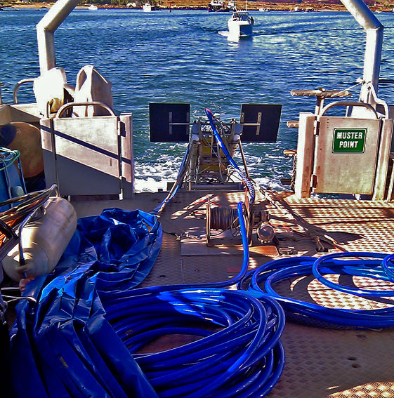
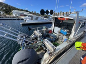
Using any vessel of opportunity Surrich can carry out a diverse range of Geophysical surveys. A wide range of Geophysical equipment can be mobilised on to a vessel and provide the client with the desired Sub-bottom datasets.
Marine Geophysical Techniques
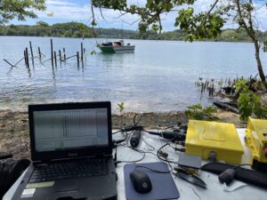
These techniques allow the survey team to quantitatively observe the physical properties of the earth below the seabed.
Surrich can carry out the following geophysical techniques:
Marine refraction data offers crucial insights into compressional seismic velocities beneath the seabed, making it an invaluable dataset for supplementing geotechnical drilling investigations.
Our seismic reflection surveys are meticulously designed to provide unparalleled insights into nearshore environments, ensuring informed decision-making for your development projects. Utilizing state-of-the-art technology and industry-leading expertise, we capture detailed images of subsurface geological structures and features.
With a focus on accuracy and reliability, our surveys deliver essential data for assessing geological conditions, identifying potential hazards, and optimising project planning and execution.
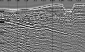
Our cutting-edge multichannel seismic survey technology enables us to capture high detailed images of subsurface geological structures and features with unparalleled clarity and resolution. By employing multiple seismic sensors simultaneously, we can gather a wealth of data providing a comprehensive understanding of the subsurface environment.
This new capability offers a quantum leap in image depth and clarity, allowing us to deliver even more reliable insights for informed decision-making in nearshore development projects. Whether you're navigating complex coastal infrastructure endeavours, exploring renewable energy opportunities, or conducting vital environmental assessments, our multichannel seismic surveys empower you with the critical information needed to optimise project planning and execution.
By utilising sensitive magnetometers towed behind our survey vessels, we accurately map magnetic anomalies that may signify buried objects, mineral deposits, or geological formations.
Benefitting from our proficiency in marine magnetometer surveys, clients across diverse industries receive essential data crucial for informed decision-making.